For your home iOS · ANDROID · LIVE NOW
The app that knows your address. Not your county. Your roof.
- Alerts with how big, and when it arrives
- Your hail outlook and a live radar
- Your neighborhood’s hail history
PRODUCT REPLICA · SAMPLE HOME
Hail alerts for your exact address, and hail intelligence for the businesses that work the aftermath. The app is free on iPhone and Android.
PRODUCT REPLICA · SAMPLE HOME
Runs in the browser on desktop, tablet and phone. iOS and Android apps are coming by the end of 2026.
PRODUCT REPLICA · DEMO WORKSPACE
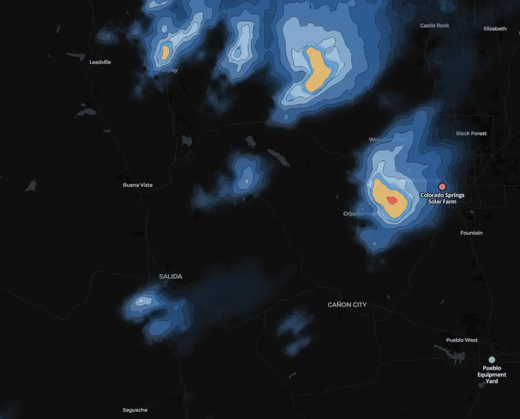
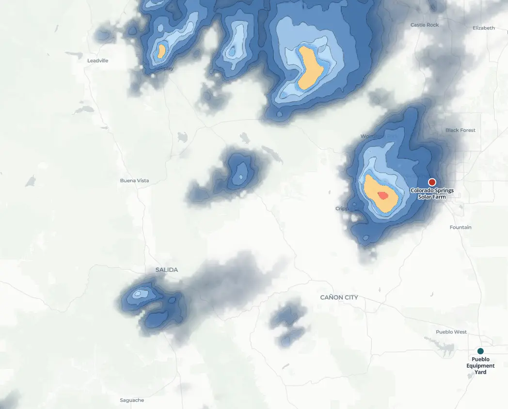
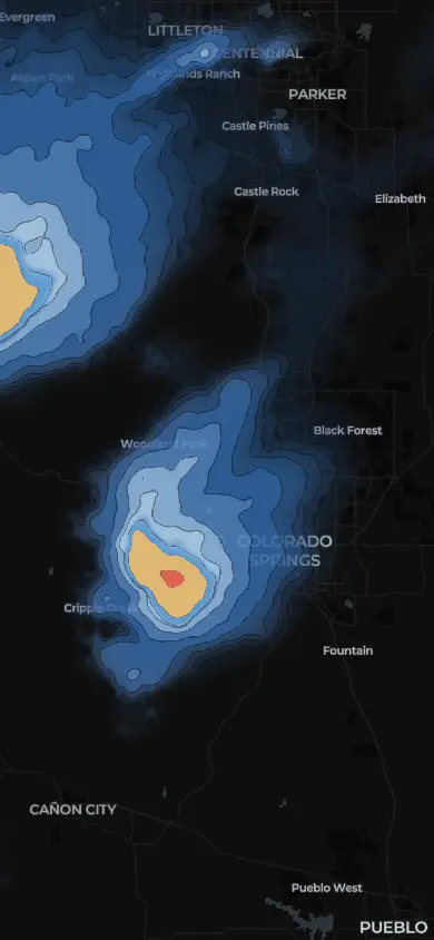
Anvil, our hail models, beside radar on one recorded storm.

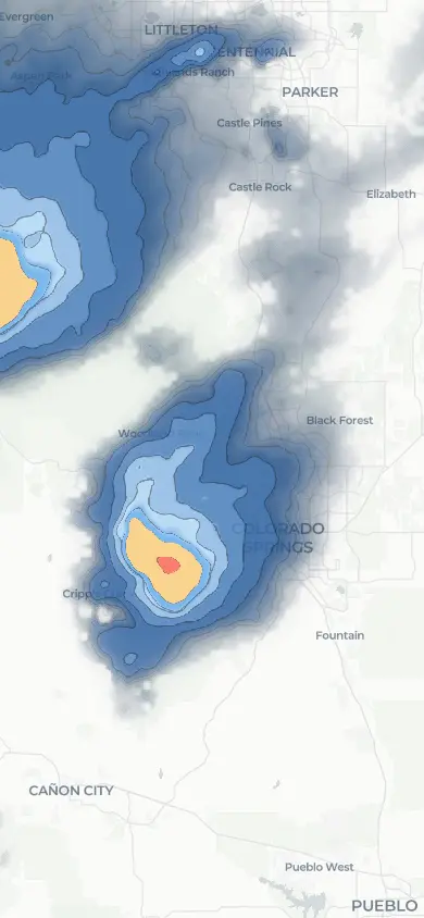
Silent recorded weather film. Three synchronized views show Anvil’s hail signal, MESH radar hail sizes, and ProbSevere storm objects over Southeast Denver metro, Colorado on August 13, 2026. All three systems show this storm. This replay compares their visual presentation; it does not establish comparative accuracy. 25 recorded scans cover 21:42:39-22:30:41 UTC. Contours morph between recorded scans. Consecutive recorded scans. Intermediate shapes are display interpolation, not observations. Fixed maps preserve each system’s geometry. Display opacity is enhanced for Anvil.
All three systems show this storm. This replay compares their visual presentation; it does not establish comparative accuracy. ProbSevere v3 and MESH are named for comparison. No affiliation or endorsement is implied. The linked ground-report cases carry the detection evidence.
25 recorded scans · 21:42:39-22:30:41 UTC. Original colors and geography are preserved. Anvil opacity is enhanced for display. Contours morph between recorded scans. Consecutive recorded scans. Intermediate shapes are display interpolation, not observations.
Recording & sources© OpenStreetMap contributorsRadar across the contiguous United States, processed at 1 km resolution on 2-minute update cycles.